Richard Loo Wei Kiah is a Senior Geomatics Manager at the Singapore Land Authority. He is a recipient of the Singapore Geomatics Postgraduate Scholarship and holds a Master of Science in Geospatial Sciences (Geographic Information Science and Computing) from University College London.
The Singapore Land Authority (SLA) plays a key role in the optimisation of land resources and serves as the national land registry authority. To execute this vital work, SLA relies on passionate professionals, such as Singapore Geomatics Postgraduate Scholar, Richard Loo Wei Kiah.
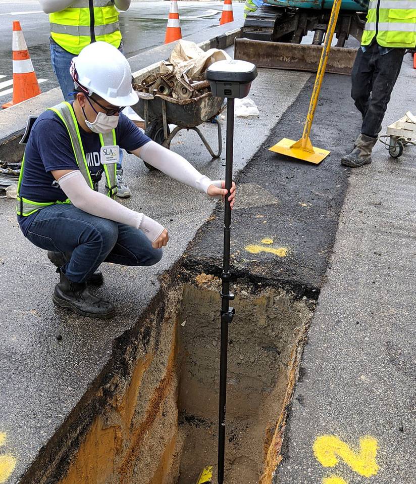
In his capacity as a Senior Geomatics Manager at SLA, Richard spearheads initiatives to enhance the mapping of critical underground assets in Singapore, thereby contributing to urban development endeavors.
We had the opportunity to speak with Richard about his crucial work at SLA and the intriguing field of geomatics.
Why did you decide to pursue a career in geomatics?
My fascination with maps and understanding the world around me sparked my interest in geomatics. Since I was a child, I spent hours poring over documentaries about explorers. I was particularly intrigued by how maps were used to navigate uncharted territories. This early curiosity evolved into a passion for geomatics, which is the science of capturing, analysing, and interpreting spatial data to solve real-world problems. The potential of geomatics to impact city planning, environmental management, and disaster response efforts further solidified my decision to pursue this field.
Interesting! Tell us about your decision to apply for the Singapore Geomatics Postgraduate Scholarship
To better support SLA’s efforts in driving geospatial initiatives using location data, I applied for the Singapore Geomatics Postgraduate Scholarship. This was a great opportunity to further my education, advance and deepen my expertise in geomatics, learn from leading industry experts and engage in pioneering research.
It also provided me the experience to fully immerse myself in both my studies and living overseas. I am grateful for SLA’s unwavering support, not only in terms of financial sponsorship, but also for allowing me to pursue my choice of programme and university to further my academic interests.
Richard Loo Wei Kiah
Can you share more about your role within SLA?
In my current role as Senior Geomatics Manager at SLA’s GeoSpatial & Survey Division, I work on a whole-of-government initiative to enhance the mapping of critical underground assets such as utility networks in Singapore. My responsibilities include collaborating with various stakeholders to improve data quality and driving the adoption of innovative mapping technologies for increased efficiency.
A typical workday for me involves a variety of tasks. Firstly, a significant portion of my time is dedicated to communicating and coordinating with different agencies and stakeholders to ensure alignment in mapping the underground infrastructure. Additionally, I am constantly exploring the latest technologies to assist the government in creating more reliable and accurate underground maps, ranging from new data collection methods to advanced data management or processing software.
Finally, I oversee the integration of these technologies and solutions into daily work processes to ensure a seamless transition and achieve the desired improvements and outcomes, such as establishing a comprehensive and dependable map of underground assets.
That’s amazing! What do you find most fulfilling about the work you do?
The most rewarding aspect of my job is seeing the tangible results of our work. For instance, when we use new mapping technologies to establish a reliable underground asset map, it enables more efficient utility planning, safer infrastructure maintenance, and improved decision-making for urban development projects. This enhances public safety, as well as contributes to the sustainable growth and development of our city.
Can you share a highlight from your career so far?
My most significant professional accomplishment to date is my involvement in Singapore’s inaugural nationwide 3D mapping project. This initiative involved developing a comprehensive 3D city model of the entire country, providing detailed and accurate geospatial data for various applications in urban planning and infrastructure development. In this role, I collaborated with multiple government agencies and stakeholders, oversaw the integration of various data sources, and implemented advanced technologies such as LiDAR (Light Detection and Ranging) and photogrammetry.
Impressive, indeed! What can we expect to see from you in the future?
Looking ahead, I aspire to be involved in more large-scale geomatics projects that leverage on emerging technologies, such as artificial intelligence and machine learning. Furthermore, I seek to play a role in shaping industry standards and promoting best practices in geomatics, driving innovation and excellence in this field. By doing so, I hope to advance the capabilities of geomatics and enhance its impact on urban planning, infrastructure management, and environmental sustainability.
What advice would you offer to those seeking to pursue a similar career path?
For those interested in a geomatics career, it’s crucial to combine technical skills with interdisciplinary knowledge. While being proficient in mathematics, science, and technology are crucial, familiarity with urban planning, environmental science, and data analytics will amplify your expertise.
It is also important to develop strong communication skills to convey complex geospatial information to non-technical stakeholders. I will recommend to actively seek mentorship, join professional organisations, and attend industry conferences to network and stay abreast of industry trends.
Lastly, embrace adaptability and resilience. Geomatics is a field of constant change, which requires commitment to continuous learning and willingness to embrace innovation. Be prepared to adapt and innovate to stay at the forefront of this dynamic field!